Railroad Maps:
1903 Map Showing Henry's Strategic Location
Next | Previous | Return to Start
|
 |
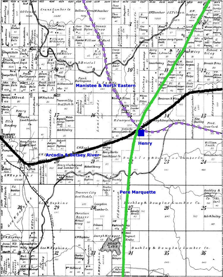 The blue box shows the location of the station at Henry where three railroads met: the Arcadia & Betsey River Railway from the west, the Pere Marquette running north and south, and the Manistee & North Eastern. -- 1903 plat map of Springdale Township in Manistee County Michigan |
 |